Norfolk Coast Path Blog Day 8
Caister-on-Sea to Hopton-on-Sea
10 miles
This really was the final stretch of the Norfolk Coast Path as it ends in Hopton-on-Sea, almost on the border with Suffolk. Having thought I had finished walking the path at Cromer in 2014 to then be given the opportunity to carry on along the coast to Sea Palling in 2015 was exciting. But finally, in 2016 the Norfolk Coast Path was extended all the way to Hopton-on-Sea and that concludes the Norfolk Coast Path! So you can now walk 83 miles of the Norfolk Coast.
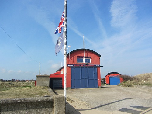
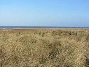
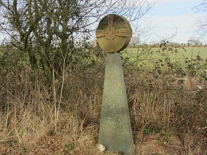
Setting out from Caister Point and the lifeboat station, I was taken along the dunes south of Caister with Scroby Sands windfarm out in the distant sea. The signage is excellent, with markers every now and then popping up in the marram grass and gorse covered dunes. I enjoyed walking over these windswept dunes knowing that at some stage soon I'd be arriving in the bustling and busy town of Gt Yarmouth,
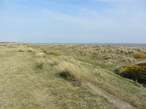
Just before I reached Great Yarmouth I enjoyed the dunes on my left. On my right was the encroaching holiday park which actually didn’t detract from the openness of the walk, as the dunes spread for miles. In fact these dunes are officially called the Great Yarmouth North Denes Dunes and the area is a designated SSSI site managed by Natural England.
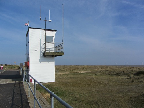
Once at the coastal watch point, I was now onto tarmac and this would be the case until I reached the beach at Gorleston (about 3 miles).
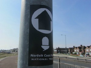
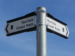
I now prepared myself for a bit of road walking and discovering a very small part of Gt Yarmouth. Much of the signage through the town is by means of the National Trails acorn and an arrow on a sticker on lampposts, or like a road sign, so I kept my eyes wide open! Very different to the rest of the Norfolk Coast Path.
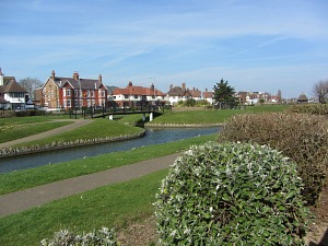
I had an interesting walk along the promenade, again with dunes and now beach on the left hand side and the well maintained park on the right, along with rather grand houses as I approached the more touristy centre of the town. It was interesting to see a part of Great Yarmouth that isn’t all arcades and loud music (that comes a little later!).
It was also good to see quite a few little cafes along here where I could have stopped if I wanted to.
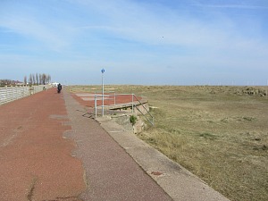
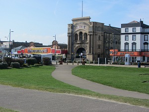
I continued on my walk, enjoying the rather wild feel to the beach before I approached Gt Yarmouth proper! There was no way to avoid walking into the town as I had to cross the river at some stage in order to get to the other side, and hence on to Gorleston. So I followed the signs taking me off the promenade and onto the main road and in amongst the noisy arcades. I moved quickly away from the sea front as I wanted to get to the quieter streets, and to be fair, there was only a very short walk to get away from it!
The map was quite handy here as, although it is well signed, there were a few places where I thought I’d better check to see if I was going the right way. Head towards to Quay.
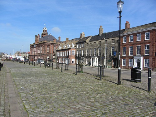
Eventually, after walking along the fairly busy roads of the town, I reached the river. Here I walked along the quay with pretty Georgian houses overlooking the river, I crossed over the river and, following the signs, walked along a residential but very busy road with the port docking stations on the left. This little stretch after crossing the river was probably the least attractive part of the walk in my opinion.
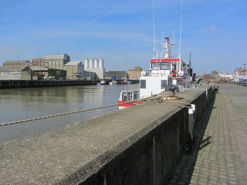
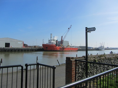
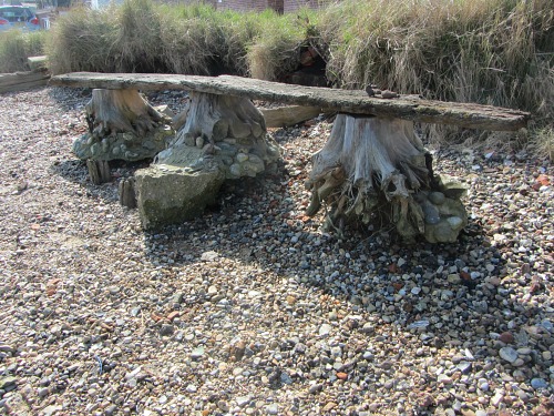
Eventually I was taken away from the main road and a bit of peace and quiet prevailed. I had a well deserved sit down on a bench overlooking the busy port before continuing along the river bank until I reached the harbour opening out to the sea, and Gorleston. I loved seeing this driftwood bench perched on the edge of the riverside overlooking the port, but I refrained from sitting on it, it looked rather like a museum piece!
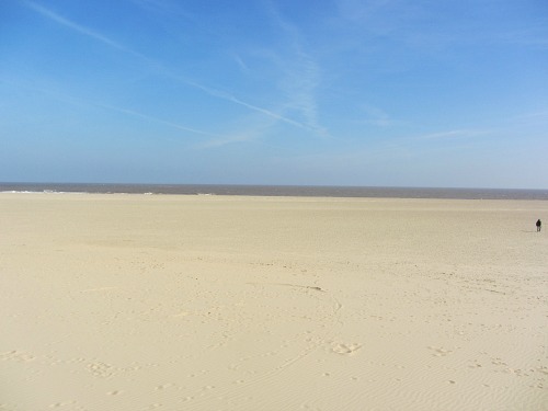
Finally I arrived at the beach of Gorleston, a wonderfully white sandy beach that stretches for miles in the direction I was going and a massive welcome relief after the busy road walking in Yarmouth. I could have walked along the beach, but decided to continue along the promenade here as I knew it would be easier walking.
The minute the promenade finishes, I was then onto different terrain, walking along the edge of the beach just up from the sand and behind the sea defences. In places this did become a bit difficult so I alternated from hard path to soft sand or stones.
The feel of being back on the beach and away from civilisation was wonderful!
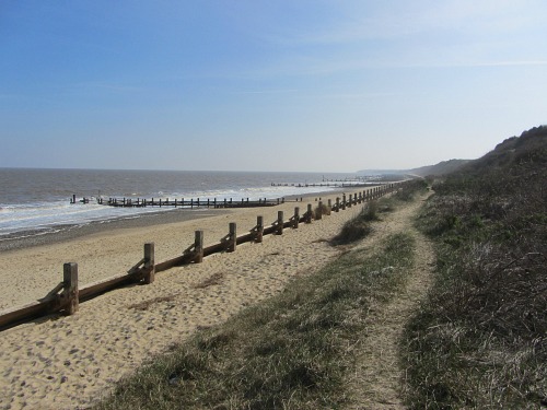
Finally I reached Hopton on Sea - this I knew as the sea defences became large boulders rather than wooden groynes.
I did think I was nearly at the end of my walk here, but realised I still had a little way to go. Just at the beginning of the boulders I noticed some metal steps heading up towards a holiday park and wondered whether I should go up there. I decided not to, but if the tide was high I think I would have done so. I carried on, noticing the white railing on top of the cliff which was the fence to a holiday park.
Further along the beach there were some more steps with white railings, and a Norfolk Coast Path Alternative Route sign. I decided I should go up here as I could see ahead that I couldn’t get past the boulders in front of me due to the tide coming in.
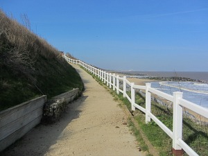
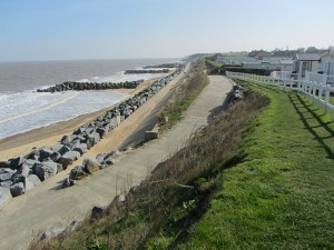
Up I went into the holiday park (not what I wanted), but there really wasn’t another option. It didn’t matter, I didn’t follow the alternative Norfolk Coast Path signs (as I couldn't see them) but just walked along the cliff top (behind the white railings) and followed the direction of the sea, using my common sense to be honest!
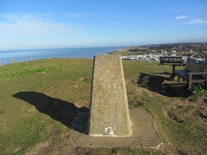
At the end of the park I joined the path again (just above the beach) and continued to follow the signs until I saw the final waymarker that confirmed I’d reached the end of the North Coast Path – in other words there was no more Norfolk Coast Path sign to follow! Wow, what a diverse, fascinating and interesting walk this had been.
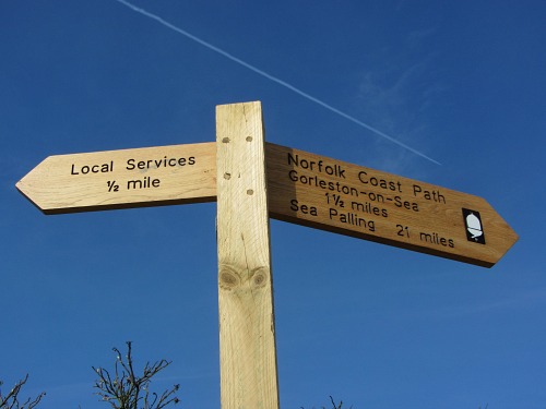
I had walked 83 miles, from the promenade in Hunstanton to the beach of Hopton, and in between these miles I had seen the most incredible landscape, come across Norfolk’s best wildlife, walked on expansive stretches of beaches, salt marshes and crumbling cliffs. And along the way I had come across fishermen grading mussels, lots and lots of dogs of all types, other walkers or birders who happily say good morning to you, and romantic couples who were lost to themselves.
What a fantastic 8 days, you really can’t beat this unbelievably beautiful Norfolk Coast Path (I know I use a lot of superlatives but the Norfolk Coast Path just oozes them at all stages).
The great thing about this walk is that Explore Norfolk UK can help you put together this particular walk in varying options specific to your requests and needs. We can tailor a walk to any length of days, any mileage length and any other requirements you may have. You’ll find all the necessary information you need here with our Norfolk walking holidays. We hope we can help you enjoy this incredible Norfolk coast as much as we do.
Day 1 Hunstanton to Brancaster Staithe
Day 2 Brancaster Staithe to Wells-next-the-Sea
Day 3 Wells-next-the-Sea to Cley
Day 4 Cley to Cromer
Day 5 Cromer to Mundesley
Day 6 Mundesley to Sea Palling
Day 7 Sea Palling to Caister
Day 8 Caister to Hopton


